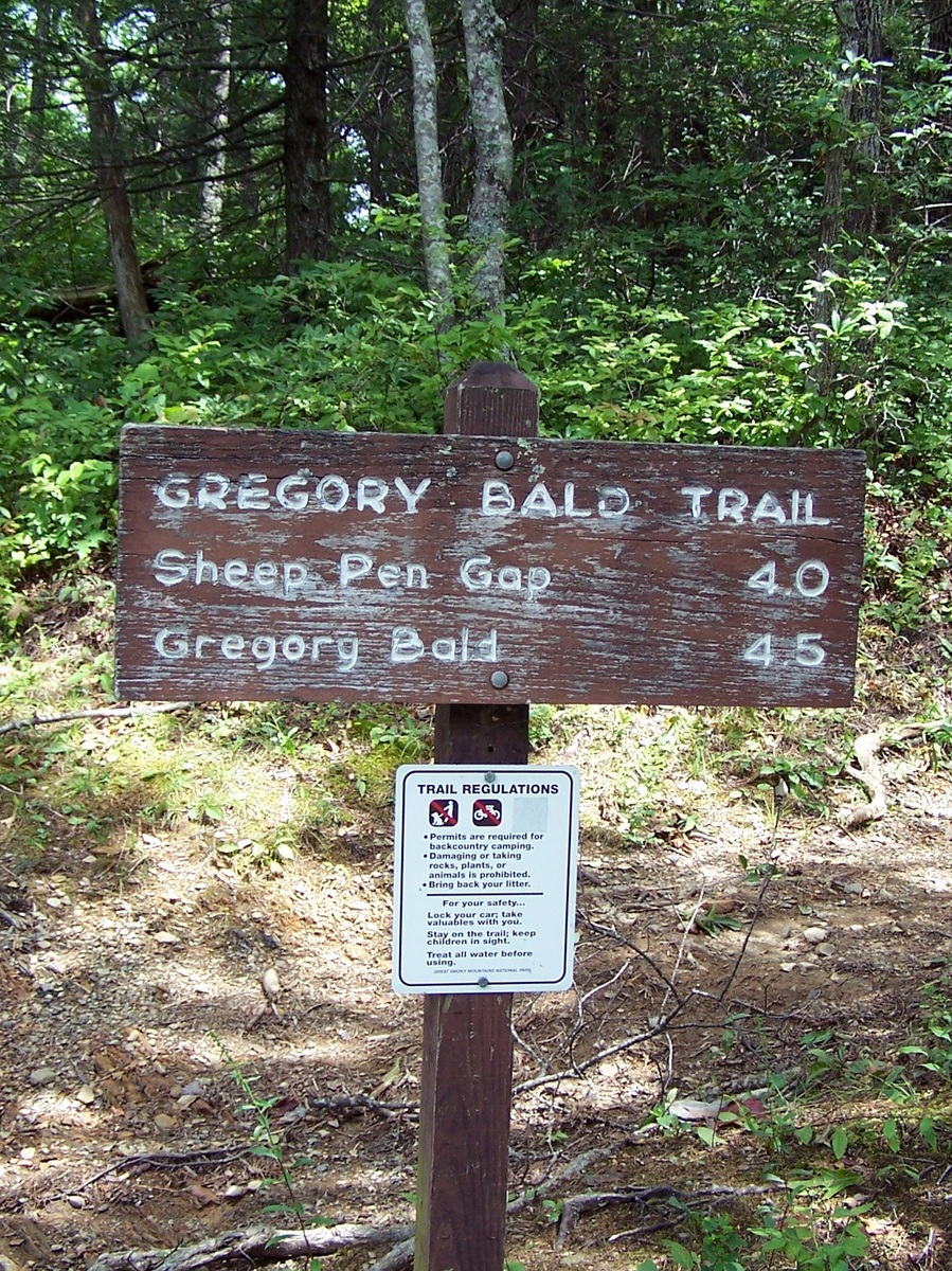
 Looking for another way to access the Appalachian Trail as well as a pretty good warm up? Look no further than the Gregory Bald Trail. It’s 7.3 miles from its junction with the Parson Branch Road intersection to its junction with the Appalachian Trail at Doe Knob.
Of course, the other reason to hike this trail is to take in Gregory Bald – one of the more famous spots in the Smoky Mountains.
To get you started, you’ll have to make your way to Cades Cove and drive its Loop Road. Once you reach the visitor center and Cable Mill area, turn off and follow the signs to Parson Branch Road.
You’ll gradually ascend the trail as you start out. Notice the pines as you walk along. You”l eventually reach Panther Gap, named for Panther Creek whose headwaters form along the path.
Backcountry campsite No. 14 is reached at 4.1 miles on the trail. It’s lush grass provides for a great camping spot and water can be found about 200 yards prior to reaching the campsite. Just be sure to treat the water before drinking it. You’ll also notice the trail sign and the original AT crossing that passed over Gregory and Parsons Bald until 1948. The rest of the trail walks right along with the old Appalachian Trail.
A quick, steep climb is had before you reach Gregory Bald at 4.5 miles in. People flock here in June to get a glimpse of the azaleas. Not only that, but the blueberries that sprout in August brings hikers from all walks of life and locations.
Once you’ve had your fill of the remarkable vistas and views of Gregory Bald, the trail descends to Rich Gap, 5.2 miles in. From Rich Gap it’s an eastward hike along the trail till you reach Long Hungry Ridge’s northward peak. Swinging south, you’ll continue on to the knob on the North Carolina side of the Smokies leading to Brier Lick Gap. You’re on your way to reaching the junction with the new version of the Appalachian Trail and you can tell your friends that you’ve been to and taken in one of the most majestic and picturesque spots in all of the Smoky Mountains: Gregory Bald. Enjoy the AT!
