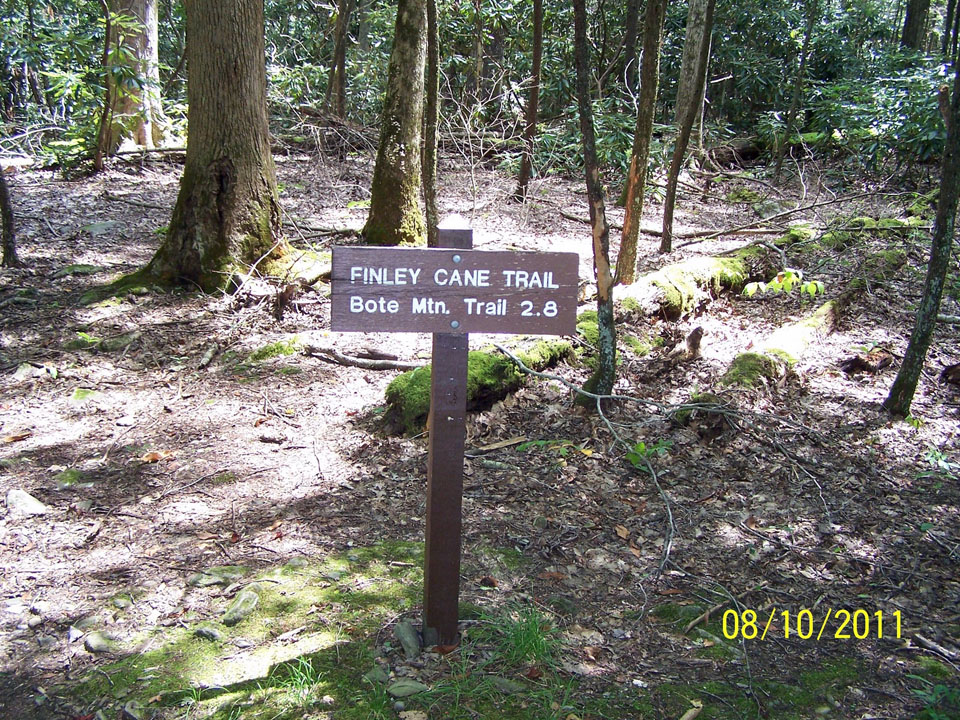
 So you’ve tripped down to Townsend, Tn for a day to take a dip in the “Y” and do a little hiking afterward…. If you’re looking for a rather close trail that won’t leave you too tired after floating on the river all afternoon, try the Finley Cane Trail. It’s a 2.8 miler from its junction with Laurel Creek Road to its end at the intersection of the Bote Mountain Trail.
To reach the trailhead, it’s a 5.5 mile drive, or walk whichever, west of the Townsend “Y” toward Cades Cove. The trailhead can easily be passed up so keep your eyes peeled if you decide to drive. Parking is found along the road for this Smoky Mountain trail.
You’ll parallel the road to start out on the trail before descending on the path and crossing Sugar Cove Creek by way of stepping stones.
 Continuing on, the trail can be rather muddy at times before you cross another small spring branch and then begin the ascent up Bote Mountain. Rhododendron are especially prevalent here as well as other points on the trail as you’ll surely notice.
Laurel Cove Creek and Hickory Tree Branch are rock hopped soon thereafter. If you think that you’ve been hiking up and down, and up and down throughout the forest, you’re right. The same can be said for wet and dry portions of the trail. It’s a hike that contrasts to the extreme throughout.
Notice the various mushroom species that align the trail as well. The park contains a number of species and the Finley Cane Trail is as good a Smoky Mountain trail as any to observe them.
Actual cane will come into view on the last mile of the Finley Cane Trail – possibly one of the ways the trail got its name. It’s the only native relative to bamboo found in the national park.
There are a number of options once you’ve reached 2.8 miles and the Bote Mountain Trail. We’re sure you’ll find an option you like whether it be hiking on to Spence Field or hiking the West Prong. Either way, happy hiking and enjoy the Smokies!
