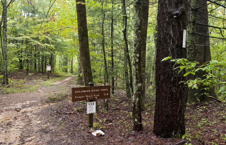
Not to be confused with the “Goldmine Trail,” another Smoky Mountain path on the North Carolina side of the Smokies, the Gold Mine Trail lies on the Tennessee side and is more of a connector-type trail from the Cooper Road Trail to the park boundary.
Hikers will start out at the junction with the Cooper Road Trail, which is 2.5 miles from the Abrams Creek Campground. This trail is essentially what remains of an old track between Montvale Springs and Cooper Road. It’s named for a mine found in the mountain, but for what gold it did yield wasn’t enough to cover mining costs. You’ll run by an old log cabin site on the trail as you ascend through a mix of hardwood trees and rhododendron.
The trail shows a bit of a climb and at 0.8 miles you reach the park boundary. You can also see newer construction at this point as developers have chosen to get up as close to the park as humanly possible over the years in order to make their homes more desirable to buyers.
