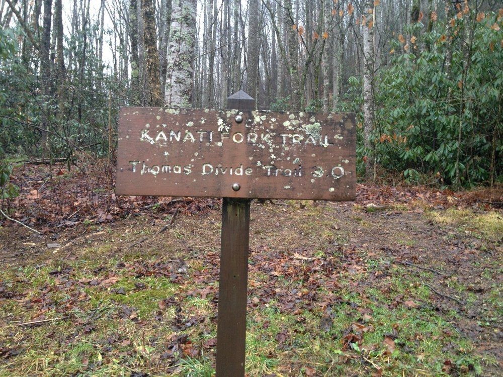
The Kanati Fork Trail isn’t just a Smoky Mountain trail with a funny name. It’s a challenging uphill hike that with test even the most experienced of hikers and one where you can get some incredible shots of spring wildflowers.
In all, it’s a 2.9 mile hike from its trailhead on Newfound Gap Road to the junction with the Thomas Divide Trail. To reach the trailhead, walk 0.3 miles north of the Kephart Prong Trail parking area which is eight miles north of the Oconoluftee Visitor Center.
Like many other trails in the Smokies, the Kenati Fork Trail is a wonderful trail for viewing spring wildflowers, but it’s also a trail that can be fairly muddy if a storm has come through the area recently. The name “Kanati” comes from an old Cherokee tale, though there is no known reason as to why it was applied to this stream.
As you ascend this trail, notice the lush forest of birch and magnolia, as well as the creek valley on your left. Wildflowers that can be found along the Kanati Fork Trail include bee-balm, great chickweed, Dutchman’s britches, rue anemone, violets, trillium, and trout-lily.
Hikers will cross, then cross again, one of Kanati Fork’s feeder creeks, climb a switchback, then crosses the creek for a third time at 0.9 mile on the trail.
Thomas Divide creeps ever closer at the 2-mike marker and you cross another feeder creek before the trail levels off somewhat and another switchback come into play. At 2.9 miles, you reach the intersection with the Thomas Divide Trail and the end of the Kenati Fork Trail. Happy hiking!

Hiked on Saturday April 19, 2014. Terrific displays of white erect trillium and white grandiflorum trillium – thousands in first mile. A few painted trillium right at beginning of trail on the right. Very worthwhile. Trail is well graded and maintained.